How Landscape Designers Use 2D Plans, 3D Models, and Site Data
Landscape design software helps designers measure site conditions, draft 2D plans, build 3D models, and explain how a landscape may work. At LandscaperSammamishwa.com, we use these tools to connect design ideas with site-based decisions.
Written by Adam Gorski · 29 years of local experience
Request an Estimate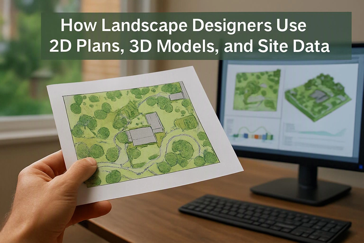
Written by Adam Gorski.
What Landscape Design Software Helps Designers Do
Landscape design software helps designers turn site information into clear plans, visual models, and buildable decisions.
These tools support site analysis, layout planning, and design presentation. They can combine CAD drafting, a digital site plan, planting information, and hardscape details in one working file.
We use site data to study existing conditions before making design choices. A 2D plan then organizes the work, while a 3D view helps explain height, form, screening, and outdoor rooms.
How 2D Plans and 3D Models Serve Different Purposes
A 2D landscape plan communicates layout and measurements, while a 3D model communicates form, height, space, and visual relationships.
Both formats answer different questions during design. The 2D plan supports accurate placement, and the 3D landscape model helps people understand how the finished space may feel.
| Design format | Main purpose | Useful decisions |
|---|---|---|
| 2D landscape plan | Shows layout, boundaries, measurements, and placement. | Supports circulation, planting zones, patio layout, walkway design, and hardscape layout. |
| Planting plan | Organizes plant locations and planting relationships. | Helps coordinate plant selection, screening, and seasonal structure. |
| 3D landscape model | Shows form, height, mass, and spatial relationships. | Helps explain outdoor rooms, views, shade, screening, and visual balance. |
Can Landscape Software Show Grading and Terrain?
Yes, landscape design software can show terrain and grading when the model includes reliable elevation and site data.
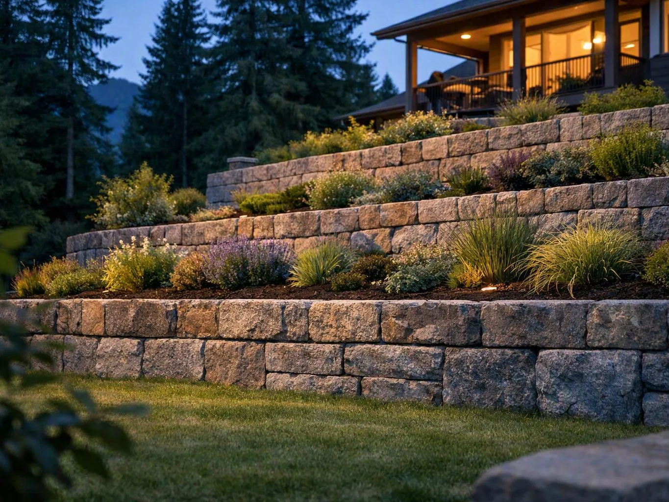
Terrain modeling uses contours and elevation data to represent changes across a property. A slope can then be reviewed with proposed paths, patios, planting areas, and other landscape elements.
Grading information can also support drainage planning. We review how water may move across the site, but regulated drainage, structural, or utility work may require licensed professionals and approval under applicable code and inspection rules.
What Site Data Goes Into a Landscape Design?
Site data includes the physical conditions and limits that shape a landscape design.
We review property boundaries, existing structures, trees, utilities, access, and drainage paths. We also consider sun exposure, soil conditions, elevation data, and slope.
This information helps us place planting zones, hardscape, circulation routes, and outdoor rooms with fewer conflicts. A property survey or other reliable site measurement can improve the accuracy of the digital site plan.
When 2D Plans and 3D Models Work Best Together
Both formats work best together when a project needs accurate layout decisions and a clear visual explanation.
Our team may use both formats during residential landscape design, commercial landscape design, and landscape consultation. The right mix depends on the site, the project scope, and the decisions people need to make.
How the Design Tools Work Together From Site Review to Presentation
The tools work as a connected process: site data informs the plan, the plan informs the model, and both clarify project scope.
Our team connects site measurement, planning, visualization, and revisions so design choices stay tied to real site conditions. This process also gives us the information needed for quote preparation.
What a Landscape Design Presentation Should Include
A useful landscape design presentation includes the plan, key views, materials, site conditions, design reasoning, and next steps.
The presentation may include a site plan, planting plan, hardscape layout, materials, and selected 3D views. These parts show both the proposed arrangement and the visual direction.
We also explain the design rationale and note important assumptions. Clear notes help everyone understand what the design covers, which revisions remain, and how the project scope connects to the quote.
How We Use Technology to Clarify Your Landscape Project
LandscaperSammamishwa.com uses landscape technology to connect site review, design communication, and project scope.
Our team uses landscape consultation to identify site conditions and clarify priorities. We then use the right plan or model to show how residential landscape design or commercial landscape design may work on the property.
Clients can use the Landscape Consultation service to discuss site information, design options, and the decisions that shape the project. We keep design revisions tied to practical choices, so the final presentation supports a clear next step.
To request a project discussion, contact our team through our contact page.
Questions About 2D, 3D, and Landscape Site Data
What software do landscape designers use?
Landscape designers use CAD, 2D drafting software, 3D modeling software, terrain modeling software, planting design software, and site measurement tools. The best tool depends on the site data, design goals, and level of detail needed.
Can a 3D landscape model show mature plant size?
Yes, a 3D landscape model can show planned plant size when the model uses suitable plant information. The view can help explain screening, scale, spacing, and how plants relate to structures.
What site information is needed before creating a landscape plan?
Landscape plans need property boundaries, existing conditions, structures, trees, utilities, access, sun exposure, soil conditions, drainage, and reliable elevation information. The available site data determines how detailed and dependable the plan can be.
Are 3D landscape models accurate enough for construction decisions?
3D landscape models can support construction decisions when they are based on reliable measurements and coordinated with the 2D plan. A model explains form and spatial relationships, while construction work also depends on the correct site data, details, approvals, and applicable code requirements.
Related Resources
Landscape Architect or Landscape Designer: Which Should You Hire?
Compared ToDesign-Build Landscaping or Separate Designer and Contractor?
Compared ToLandscape Design Plans or a Contractor’s Estimate: What Do You Need?
Compared ToResidential or Commercial Landscape Design: Choosing the Right Provider